
FAQs
Q: I usually ask operations for a landform design, they are too busy and I don’t have the resources to create the Final Landform design myself. Can you create me a concept or construction design, so I can start the budget for the project?
Yes, we can help with that. All you need to send us is the Start Topo surface (DTM), an image outlining the proposed area for rehabilitation, your site-specific final landform criteria (batter slopes/ Grades etc) and we can get something back to you in short turnaround. Please make contact via our “Contact us” page”.
Q: How long does it take to create a design?
After receiving the required data, we can usually have a draft design within 24-48 hours. You can review the design and we can start making any alterations until you are satisfied with the Final Landform design.
Q: I want you to review design that I have for Final Landform Design at my mine site?
Yes, please allow us to review your design. We typically find inefficiencies with many final landform designs and a re-design could go as far as 30% in lowering your construction cost, allowing this additional money for vegetation establishment and erosion control measures. Go to our “contact” page and fill out a request. Someone will contact you with details on how to submit your design for review.
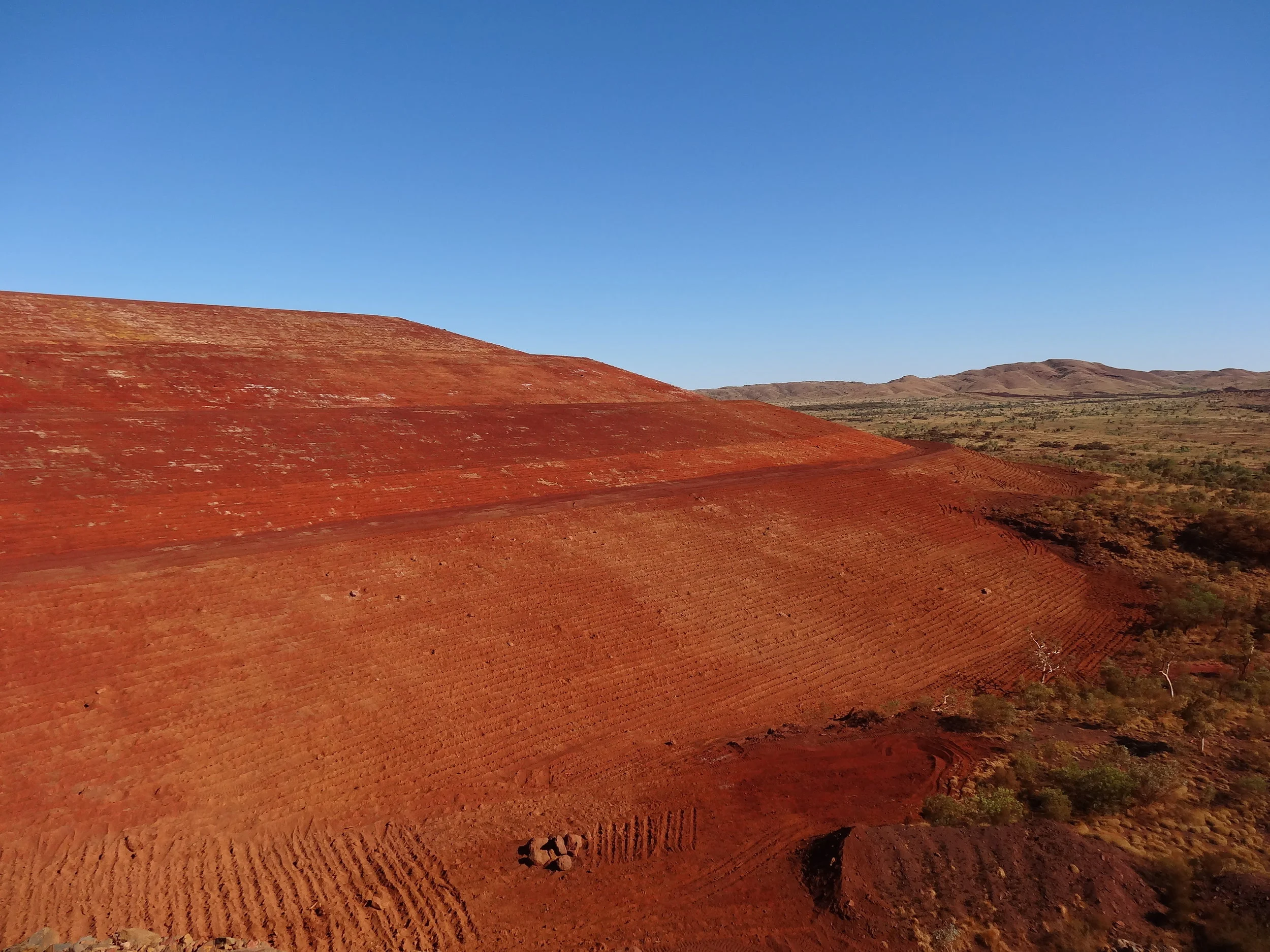
Q: I don’t have a design yet or I only have a concept design?
We can create your design to your site specific requirements. Make contact via our contact page.
Q: I have a tender coming up. Can you help with calculating earthwork volumes and distances?
Yes, we can conduct a Material Mass Haul Analysis, giving you a tabulated results showing volumes and distances for material movement.
Q: I have changing slope criteria based on material type. Can you create several designs for an area so I can compare cost of the different landform scenarios?
Yes, we can create multiple design scenarios for an area and compare the cost of construction. Changing the batter slope, even by as little as only 1% can see great savings in the cost of constructing the landform. We can also mark-up were you require spline drains and contour banks and report the length of all drainages required.
Q: Can you evaluate the as-constructed or as-built landform to see if it matches the design that we started with?
Yes, we can analyse your as-built surface model and compare it to the Landform Design Model. The report will show areas of compliance and non-compliance to the design.
Q: We need additional help on a technical project requiring soil evaluation and testing. Can you assist with this?
Soil analysis and making recommendation regarding what design criteria is needed for you project area is outside of what we can accommodate. We can however suggest that you contact Landloch (http://www.landloch.com.au/) whom we work with on these types of matters. Once design criteria are decided, we can create your final landforms design for cost of construction comparison.
Q: Our production crew require guidance on were to push the material. What can you offer?
We have a service offering exactly what you are looking for. Dozer operators can be guided on the GPS guidance screens in their cab on where to cut and fill material. Our clients that have used these services have documented cost savings of up to 30%. If you don’t have existing Machine Guidance GPS, we can assist in helping you make the best choice from the many companies supplying Machine Guidance systems. Our Construction Guidance services are compatible with Trimble, Leica, Caterpillar, Hitachi, SITECH, Carlson and Topcon, machine guidance solutions.
Q: Our rehabilitation project has its own technical difficulties with different material swell for Highwalls and Low Walls. Are you able to work with these technical concerns?
Yes, we can create a final landform design taking into numerous material swell factors for the same project area. We can also accommodate for various strata types, covering regions with a required depth of cover, designing different batter slopes defines by regions and numerous other technical challenges.
Q: Can your technology be implemented for Dozer assist projects?
Yes, we have already completed several projects were dozers are used in the mining, and bulk handling industries. We can help you with Dozer assist, Production Dozing, Dragline assist, stockpile reclaiming, stockpiling of ore for excavator load out.
Q: Can your software be used for a full mine assessment or for closure planning?
Yes, using our software we have completed many assessments for Financial Assurances (FAs) for major mining companies. The software can give a very accurate estimate for the volume of material that will need to be moved to make the entire mine site stable and compliant.
Q: Do you have any other smart and innovative technologies that can assist in reducing costs and increasing slope stability?
We have completed landform designs using various design ideas, such as concave batter profiles, collinear batter profiles and batters with integrated contour banks. We are currently developing a ripping process that has potential for reducing erosion potential at the crucial stage of establishing slope vegetation.
Q: I don’t have access to CAD packages to view the designs that you will create.
We can send you a Google Earth .kmz file of the design for you to use. We also give a scaled model of the final landform as a 3D Print.
Can’t find an answer to your question?